

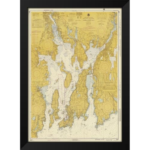
NOAA Historical Map and Chart Collection 14×18 Black Modern Framed Art Print Titled Nautical Chart – Narragansett Bay ca. 1975 – Sepia Tinted
$54.99 (as of 01/17/2026 15:34 PST - DetailsProduct prices and availability are accurate as of the date/time indicated and are subject to change. Any price and availability information displayed on Amazon at the time of purchase will apply to the purchase of this product.)
NOAA Historical Map and Chart Collection / Title: Nautical Chart – Narragansett Bay ca. 1975 – Sepia Tinted
Description
- Artist: NOAA Historical Map and Chart Collection / Title: Nautical Chart – Narragansett Bay ca. 1975 – Sepia Tinted
- High Quality Framed Giclee Art Print Direct from Museum Prints
- Framed in a Two inch Wide Modern Black Wood Frame
- In Stock and Framed When Purchased
- Made in the U.S.A. and Satisfaction is Guaranteed
Additional information
| Brand | ArtDirect |
|---|---|
| Manufacturer | ArtDirect |
| Binding | Kitchen |
| Product Group | Home |
| Item Part Number | POD-64_450539_BSCS-14×18 |
| Color | Black Modern Wood Frame |
| Size | 18"L x 14"W |
| Unit Count | 1 |
Related products
-

Historic Map : U.S. Coast Survey Nautical Chart or Map of The Florida Keys and Key West, 1859, Vintage Wall Art : 24in x 32in
$59.99 Learn More -

Historic Pictoric Vintage Map – Connecticut River, 1977 Nautical NOAA Chart – Connecticut (CT) – Vintage Wall Art – 20in x 24in
$49.99 Learn More -

Historic Pictoric Map – Islands in Lake Erie Including Sandusky Bay, Ohio, 1931 Nautical NOAA Chart – Ohio (OH) – Vintage Wall Art – 16in x 24in
$49.99 Learn More -

ArtDirect Nautical Chart – Cape Cod Bay ca. 1970 14×11 UnFramed Art Print Poster Ready for Framing by NOAA Historical Map and Chart Collection
$19.99 Learn More